WINONA, Minn. — With the acquisition of several new projects, Saint Mary’s University’s GeoSpatial Services (GSS) is increasing invaluable student internship experiences while helping nationwide organizations make far-reaching ecological decisions.
For example, in the largest single contract ever awarded to them ($1.7 million over four years), GSS will work with the federal Bureau of Land Management (BLM) on completing a wetland and riparian inventory for BLM-administered lands in the western United States and Alaska. The project will keep GSS staff and up to 30 student interns busy for several years.
GSS staff is uniquely qualified for such an effort, as they have completed more than 100 mapping projects for federal, state, and tribal agencies over the past 15 years, focusing on the landscape level inventory of wetland and riparian ecosystems. Once complete, this inventory will provide data and information that informs decisions related to habitat condition for threatened and endangered wildlife, compliance with state water quality standards, and the maintenance of ecological processes that sustain healthy animal populations and human communities.
Angela Soto ’19, an Environmental Biology and Spanish major from St. Paul, who has interned with GSS, said knowing her work will be used for habitat management purposes has been very gratifying. “Learning the applications of my work has been the most rewarding aspect for me,” she said.
“My work in the Cook Inlet and Kuskokwim River basins for the Alaska Streams program has provided me with opportunities to familiarize myself with water flow patterns, contour lines, and basic Geographic Information System (GIS) functions and tools,” she added. “I was able to apply my knowledge of GIS at my summer job as a conservation apprentice at the Winona County Soil and Water Conservation District. I am constantly amazed at the growing number of applications of GIS and the implications it holds for knowing more about our planet and how we can best manage it so that it can be accessible for generations to come.”
 Andy Robertson, executive director of GSS, said that in the past 10 years, more than 200 students have worked at GSS while attending Saint Mary’s and have gone on to successful careers in a wide range of disciplines.
“GeoSpatial Services enjoys a nationwide reputation for the development and communication of geographic data for natural resource management,” he said. “As a result of more than 150 successful projects for the federal government, state agencies, and private companies, GSS has become one of the national leaders in the provision of baseline scientific data for the monitoring our changing climate. Geographic data produced by our students and professional staff are playing an important role in identifying changes and trends in our nation’s natural resources, particularly wetlands.”
Other new GSS projects include agreements with the U.S. Fish and Wildlife Service (USFWS) for wetland mapping in Alaska’s Arctic National Wildlife Refuge (ANWR) and in a seven-county area of Northeast North Dakota. With six unique eco-zones that span approximately 200 miles from north to south, ANWR provides a perfect opportunity for the testing, refinement, and implementation of new, fine-scale wetland inventory and surface hydrography mapping protocols developed through previous cooperative agreements between the USFWS and GSS.
In addition to these new projects, GSS has received further funding to expand current wetland mapping work in New Mexico and in two western Alaska National Wildlife Refuges.
About GSS
GSS is a project center within Saint Mary’s University of Minnesota that integrates professional services and academic apprenticeships in the areas of natural resource assessment, geographic analysis, and contemporary mapping. This integration employs the technical and problem-solving skills of its full-time staff and fosters practical work experience and technical training for students. GSS is focused on meeting the needs of its partners with services including program development, data design and application, and data visualization. Find more information at geospatialservices.org.
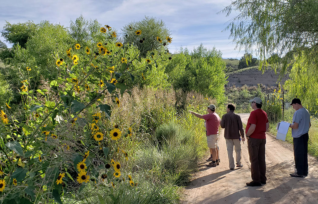
Photo caption: Andy Robertson, executive director of GeoSpatial Services, is pictured with Kevin Stark, GeoSpatial Services assistant director, and Elizabeth Powers, U.S. Fish and Wildlife Service Alaska Wetland coordinator.