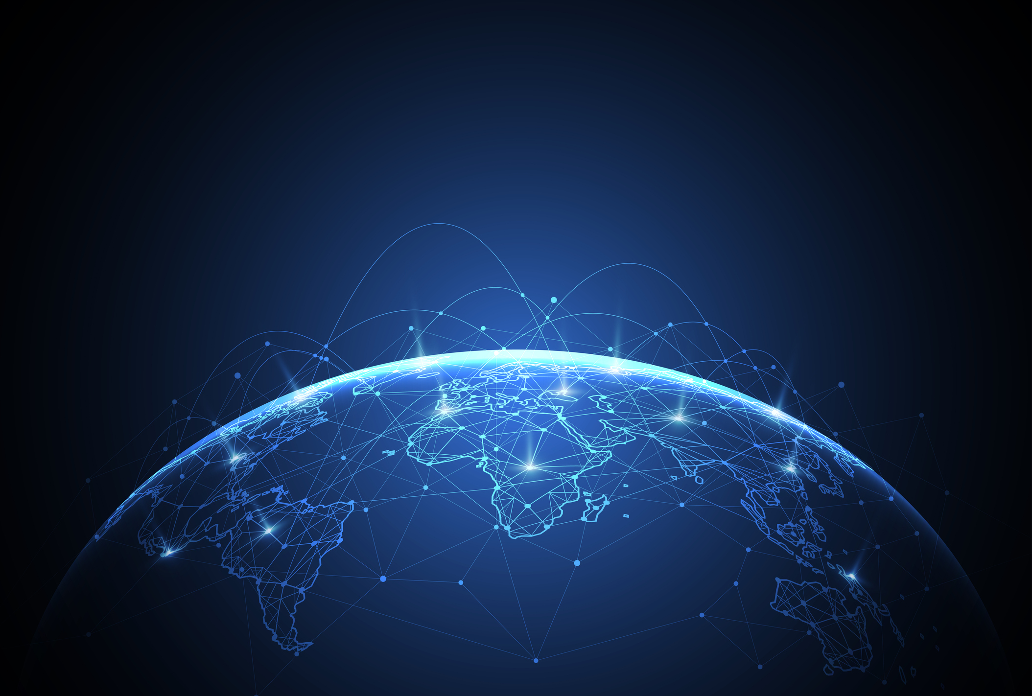
In a world steered by technology, effective data and location analytics are crucial for helping organizations make better decisions when combining data and locations. Many industries meet this need by fusing data interpretation with mapping in an innovative discipline known as GeoAnalytics. Saint Mary’s University of Minnesota delivers a Master of Science in Data Intelligence and GeoAnalytics, preparing students for exciting futures in this always-evolving field. Here, we discuss what GeoAnalytics is, how it works, and how you can get started with your new career.
What Is GeoAnalytics?
GeoAnalytics has many names, including location intelligence, geolocation, geospatial analysis, geographical analysis, and others. All of them describe the same idea: applying geography to data analysis. GeoAnalytics is a form of data interpretation that uses geography to contextualize information. This can give you a new, visual perspective, potentially revealing new insights.
GeoAnalytics works by layering sets of data onto a map, where it can be compared and contrasted based on geographical markers. The map shows you the big picture. It adds an extra dimension to your data analysis, showing you where records are and how they relate to each other based on proximity.
In addition, most GeoAnalytics software, such as Esri or QGIS, comes with tailor-made tools. They feature advanced filtering, interactivity, heat mapping, and more. You can look for regional trends across cities, states, and countries. You can also examine how patterns are affected by transit lines or proximity to a hospital. You may even overlay multiple data sets onto the same map to analyze how they interact. You have great flexibility in how you visualize your data and derive useful intelligence.
How Is GeoAnalytics Used?
The insights derived from GeoAnalytics can benefit almost every industry. These are just a few real-world use cases for GeoAnalytics:
- Criminal justice: Aggregate crime reports and compare them against neighborhoods, school districts, or proximity to the nearest police station.
- Disaster response: Evaluate vector data and satellite images to optimize wildfire response plans and determine the ideal placement of new fire hydrants.
- Highway administration: Track vehicle accidents by location to determine which intersections are dangerous and workshop ways to improve them.
- Utilities: Plan the placement of new power plants or optimize crew schedules for proactive line maintenance, which can help reduce outages and increase customer satisfaction.
- Agriculture: Interpret climate trends, soil records, and water analysis to plan land use for improved yields over hundreds of acres of farmland.
- Business: Analyze sales trends and demographics to identify promising new market areas that a new store location may capitalize on.
Good decisions are made based on the best information. As the world becomes increasingly complex and interconnected, effective data analysis is crucial for decision-making across organizations and industries. GeoAnalytics fills this need.
How GeoAnalytics Continues to Evolve
The landscape of GeoAnalytics is not static. New technologies are transforming how people approach it, providing new tools and techniques to utilize. As a result, the field is always moving and evolving in ways you may find thrilling.
Artificial intelligence (AI) is a major trend in the field now that will continue to expand. GeoAnalytics professionals are using AI to predict market areas for what types of businesses will be successful based on parameters we integrate into our deep learning AI models.
The Internet of Things (IoT) refers to the connectivity between physical devices over the Internet. It includes desktops, phones, tablets, drones, cloud computing, smart homes, automation, and more. As the IoT becomes increasingly prevalent, it’s also expanding the availability and detail depth of geospatial data. Not only does this give you more information to work with, but it also makes it more user-friendly.
Virtual reality (VR) is another innovation transforming the GeoAnalytics landscape. It allows users to walk through spatial data in exciting new ways. By transforming how professionals view and interact with data, VR helps them make connections they might not have seen otherwise.
GeoAnalytics Job Outlooks
More and more businesses are realizing the value of GeoAnalytics. This has created a rising demand for skilled geospatial analysts. According to U.S. Bureau for Labor Statistics (BLS), the career field is expected to grow 8% over the next decade, faster than average. They also earn a great average salary of $78,380 per year, with room to improve income by taking on more specialized roles.
Because GeoAnalytics is needed in almost every industry, it offers excellent mobility. Job skills are transferable between a wide variety of positions in different areas of the United States. Not only that, but the flexibility makes it easy to find the ideal job. Once you have completed a degree program and earned certification, you can try different jobs until you find the one that fits your interests and needs.
Become a Geospatial Analyst at Saint Mary’s University of Minnesota
Does GeoAnalytics sound like an exciting opportunity to you? Get started with a degree program at Saint Mary’s University of Minnesota. Our Master of Science in Data Intelligence and GeoAnalytics prepares students with a comprehensive understanding of cloud architecture, data engineering, programming, and more to prepare them for rewarding careers. Our commitment to principles of Lasallian Catholic education also helps set us apart from other colleges. Request information to learn more about our online degree programs or to apply for admission and start learning.
