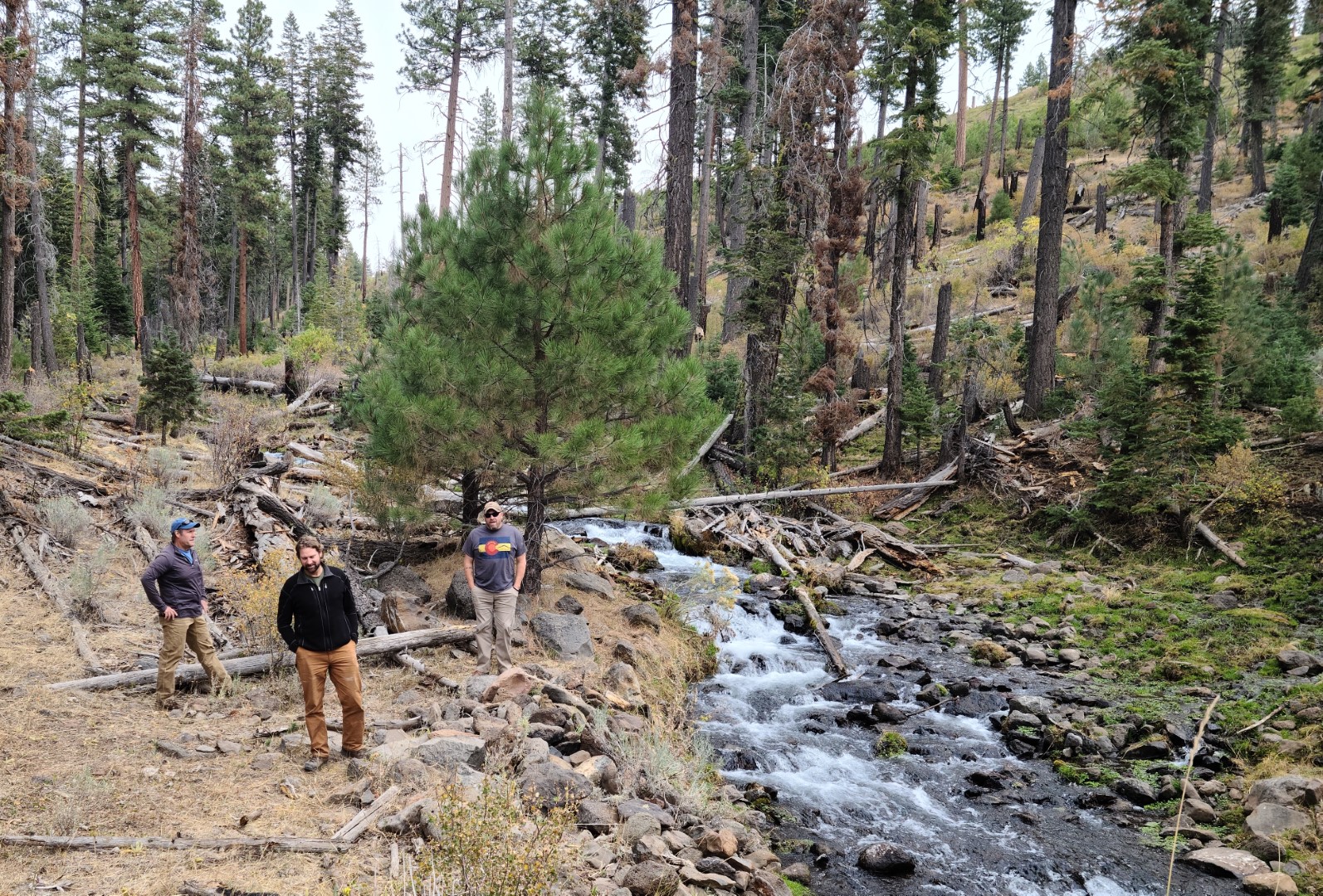
In mid-October, GeoSpatial Services’ (GSS) Andy Robertson, Kevin Stark, and Eric Lindquist spent a week in northeastern California and Western Nevada for the purpose of verifying GSS’s wetland mapping work. GSS has been a major contributor to the National Wetland Inventory and a long-time partner with the Bureau of Land Management (BLM) to complete much of their wetland mapping in the western United States and Alaska.
Much of the data taken to the field for evaluation and on-the-ground corrections was created by the team of students working with the GSS/BLM mapping team at Watters Hall on our Winona Campus. GSS student technicians are guided through a training and learning protocol of wetland mapping skills and exposure to geographic information systems software in order to be employed by GSS at Saint Mary’s.
Staff members Peter McColl ’13, M’19; Matt Hogan M’19; James Loken ’19; Shauna (Frahm) Larson ’19, M’20; and Eric Lindquist M’18 work with students who are in “real-world” paid positions within GSS. The students gain skills in the software used, data creation, natural resource mapping, and much more.
Currently, GSS employs approximately 40 students at both the Winona and Twin Cities campuses on various projects throughout the U.S.
Photo caption: GSS staff Andy Robertson, Kevin Stark, and Eric Lindquist in northeastern California.