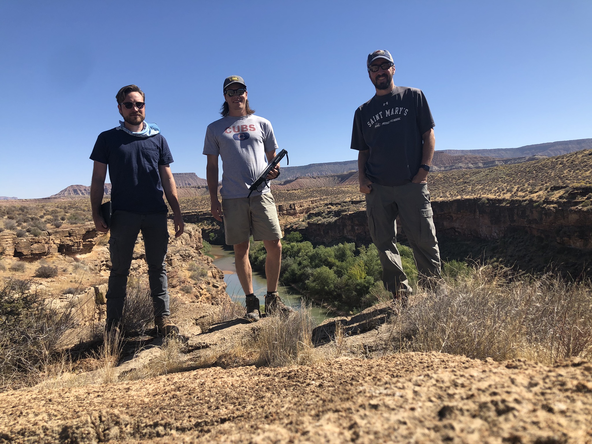
In late-September and early-October, three GeoSpatial Services (GSS) staff members (Andy Nadeau, Peter McColl, and Matt Hogan) traveled to Utah for 12 days to complete a wetland mapping fieldwork trip. GSS staff complete fieldwork for almost all mapping projects the group takes on for the U.S. Fish and Wildlife Service National Wetlands Inventory (NWI) program. Current mapping efforts in Utah stretch across much of the western portion of the state and are spread across two projects.
These field trips are crucial for GSS analysts, as they allow researchers to verify whether the geologic features, soil types, and plant communities observed on aerial imagery are accurate with what is actually occurring on the ground. The lessons learned while in Utah will be documented and provided to all analysts and students working on the project at Saint Mary’s, so that all features are mapped to a high level of accuracy.
Nadeau, McColl, and Hogan traveled over 2,500 miles by truck throughout the course of the trip, and visited over 250 checksites, where they verified unique ground signatures and water bodies. These checksites were typically located on federal and state lands in areas of the state that are rarely visited by non-residents. Federal lands crossed included Zion National Park, the Sawtooth, Uinta, and Wasatch National Forests, and many National Conservation Areas. Highlights of the trip included routes through Zion National Park, various historic springs and seeps in the remote Utah mountains, salt flats and salt lakes, and rugged landscapes across many wilderness and roadless areas of the state.
For more photos of the Utah trip, please visit the GSS website.