Project benefits student learning, resource preservation, and Church mission
WINONA, Minn. — Like most environmental biology majors at Saint Mary’s University of Minnesota, senior Savannah Swanson dreams of a career in natural resource conservation.
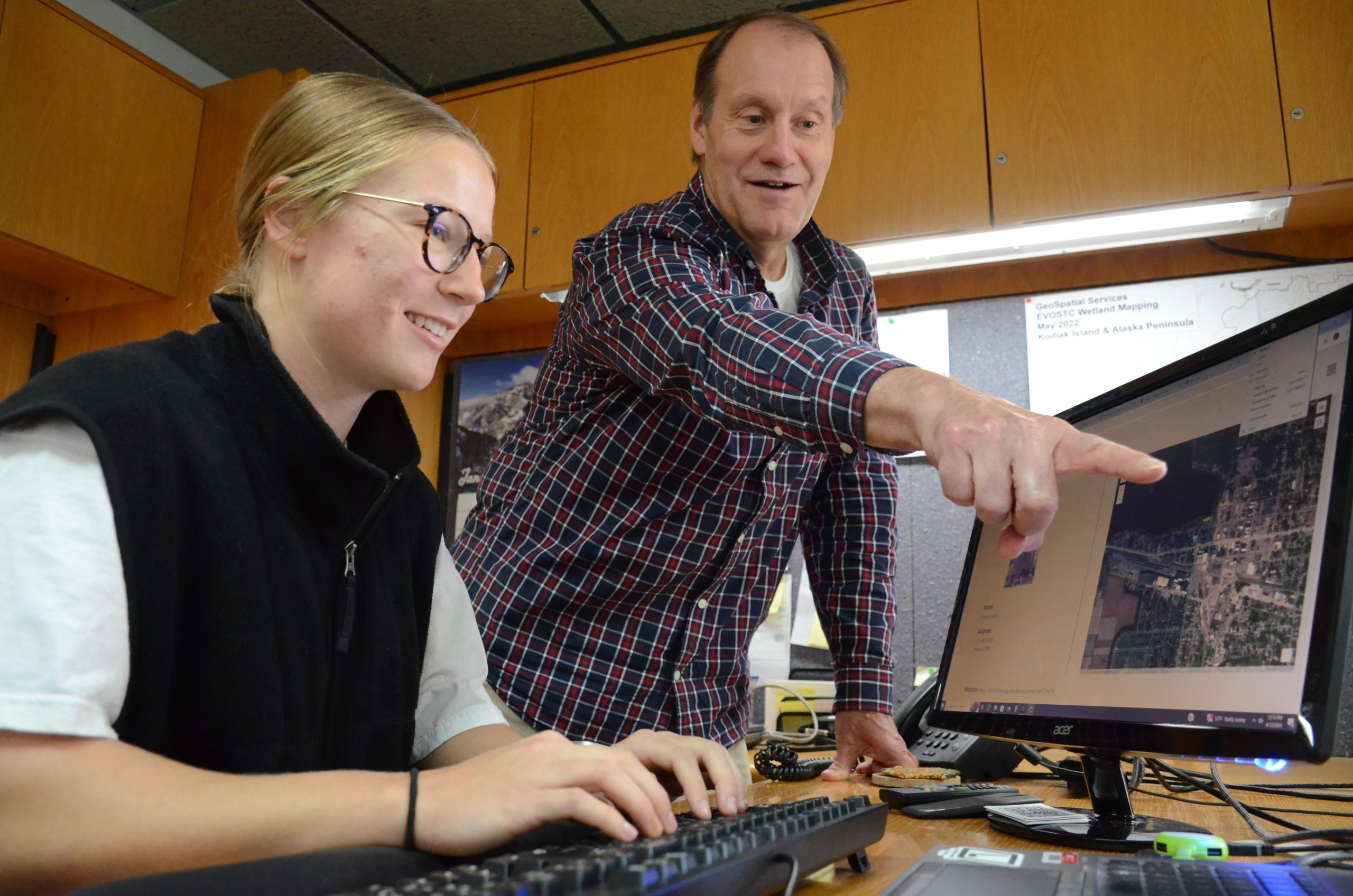
To help her realize that dream, Swanson chose to minor in the newly developed Natural Resource Management track at Saint Mary’s. In addition to her courses, Swanson has also gained valuable, real-life Geographic Information System (GIS) work experience at Geospatial Services (GSS) for the past three years.
Whereas GSS typically works with clients like the National Park Service, the Bureau of Land Management, or the U.S. Fish and Wildlife Service, over the last two years, GSS has expanded its partnerships to multiple dioceses and archdioceses throughout the U.S. on church property management efforts.
These efforts are explicitly aimed at helping to mitigate climate change, to strengthen communities, and to assist Church leaders in their efforts to meet the demands first articulated by Popes John Paul 2 and Benedict 16 but codified and promulgated with vigor in Pope Francis’ encyclical Laudato Si.
Thanks to this innovative move by GSS, students like Swanson will have the chance to work on a set of emergent projects between GSS and the Roman Catholic Church aimed at furthering conservation and restoration of natural resources. Projects like this would not only speak to Swanson’s heart but also to her professional aspirations.
“The Church can care for the earth in ways that are beneficial to it but also sustainable,” Swanson said.
GSS has always used emergent technologies, contemporary mapping practices, and geographic analysis to serve its clients in their efforts to be better stewards of their land. And now the world’s largest non-state land owner, the Roman Catholic Church, is openly joining in those efforts.
Andy Robertson, executive director of GSS, said their work began because of a key partnership with the Fitzgerald Institute for Real Estate at the University of Notre Dame (UND).
He explains that professors, students, and faculty members at UND were interested in the topic of Church property ownership and how to get the “highest and best use” out of these properties. They were interested in the topic from a variety of viewpoints: historians and archeologists took a preservation perspective; sociologists examined the role of the Catholic Church as a valuable community member; and beyond.
Inspired by this multidisciplinary opportunity, Robertson connected with the executive director at the Fitzgerald Institute, a valuable partnership began, and yet another innovative GSS initiative emerged.
Next, Robertson met with officials at the Diocese of Winona-Rochester to ask them if they’d be willing to serve as a prototype. With their agreement, work began in earnest in February 2024.
Robertson explains: “Over the last year, GSS has discovered that we can serve a wide variety of church groups: from dioceses to religious orders and from schools to cemeteries. Our goal is to help church partners realize what they have for property and then to provide data-informed decision and communication support.
“Surprisingly, church property is not always well understood; sometimes a group doesn’t even know what all it owns or even where it all is.”
Relying on the expertise of its staff, GSS has developed tools to manage the depth and breadth of church property information it has discovered.
GSS can use a typical data-mining process to identify and geo-locate all associated properties. Using records owned by the diocese itself, tax and insurance information, and other publicly available records, GSS staff are able to assemble a map-product. Even once clearly mapped, it can still be a challenge to characterize what’s on the property.
With guidance, students and staff will be mining records and databases, and then all the live data will be presented in a format the church client can use to start managing their properties better, more effective, and more ecclesial
“For example, if we’re looking at a church, we might ask: How old is the building? When did they last replace the roof? Is there a parking lot? Is it properly insured? What is the management strategy? If it is to be decommissioned or desacralized, is there any way to ensure continuation of the patrimony?” Robertson said.
GSS staff have engaged the Archdioceses of Denver, Detroit, and Los Angeles, dioceses from Bridgeport, Conn., to Tulsa, Okla., and even a few religious orders about building similar tools for them.
“We’re only scratching the surface right now,” he said. “This is a worldwide challenge. As soon as we’re ready to, we will probably expand outside the boundaries of the U.S. This has the potential to double the size of GSS in the next year or two.”
Students like Swanson, hailing from a wide variety of majors, will benefit from this emergent set of projects in myriad ways. “Not only will they be learning GIS technology, they’ll be gaining an exposure to a different facet of mission than they would normally experience,” Robertson said, “Maybe the best use of a piece of land is for water management. Maybe it has a wetland on it and requires flood management or water quality management. Maybe it’s suitable for a solar farm development and could generate an unexpected revenue stream.”
He furthers: “An environmental biology major might be guided to reflect on how rural property gifted to a Catholic church in Colorado could be utilized from a natural resource management standpoint.
“A seminarian might be guided to ask and answer a question like, ‘What is the highest and best use of this property for improving the carbon or water footprint of this diocese Church?’
“Someone studying educational administration might be guided to generate an executive report on which schools need more resources and which schools may need to close.
“These are all questions that can be answered by pulling together information in the form of maps and databases,” Robertson said.