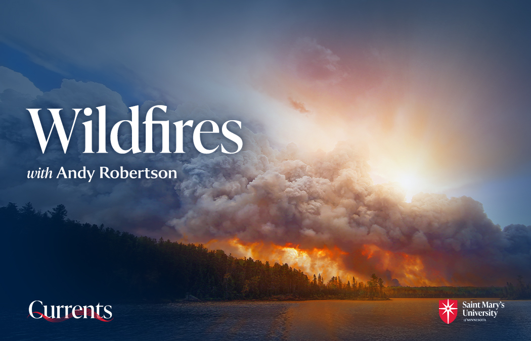
Wildfires seem to be everywhere. Earlier this year, the fires in Los Angeles caused billions of dollars in property damage and displaced over 100,000 people. Minnesota had three wildfires which burned nearly 20,000 acres of northeastern Minnesota in May, according to MPR. In June, according to the National Interagency Fire Center, there were active fires in 11 U.S. states and in virtually every province in Canada. And now this month, two wildfires have erupted in Grand Canyon National Park.
So, what factors are contributing to the frequency and intensity of wildfires that we are seeing? How can wildfires be better prevented or controlled, and what are the long term impacts on communities and ecosystems?
Listen here:
About the Expert:

Andy Robertson is the executive director of GeoSpatial Services, a project center within Saint Mary’s University of Minnesota that is engaged in a wide variety of projects in the areas of natural resource assessment, geographic analysis, and contemporary mapping. Andy has been a key partner of the U.S. Fish and Wildlife Service, working for over 20 years to update legacy National Wetland Inventory data across the United States. He earned a Forest Technology Diploma from Sault College of Applied Technology in Ontario, a B.Sc. in Environmental Science from the University of Waterloo, and completed postgraduate work in forest management at the University of Toronto. He is a board member for the National Association of Wetland Managers, steering committee member for the NAWM Wetland Mapping Consortium, member of the American Rivers Functioning Floodplain Alliance, president-elect of the Society of Wetland Scientists North Central Chapter and past chair of the Alaska Wetlands Technical Working Group.